Hardangervidda
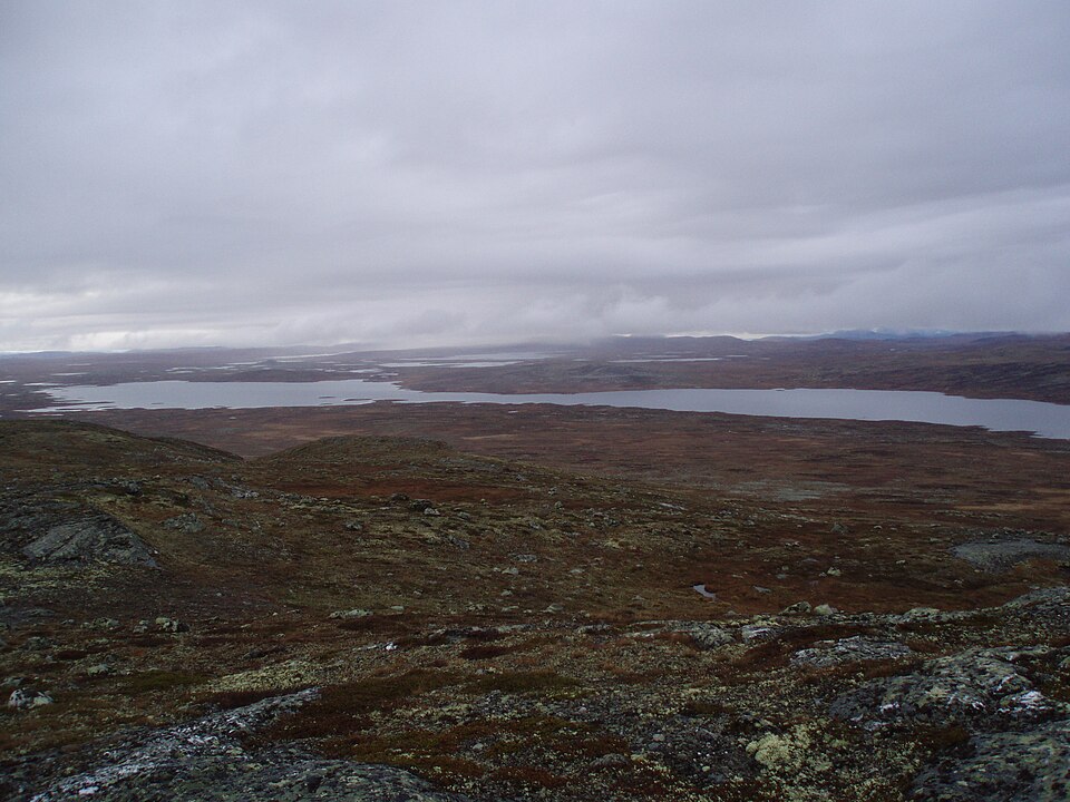
Europe's largest mountain plateau — wild reindeer, endless open country and marked trails between the cabins.
The facts
| Elevation | 1200 m |
| Coordinates | 60.1330, 7.5311 |
| Time to allow | 6 h |
What to see
- Hardangervidda nasjonalpark Hike
- Rallarvegen Activity
- Hårteigen Hike
The landmark of the plateau — a 1690 m block of rock visible a day's walk away.
In winter
Rv7 across the plateau is ploughed all winter, but it is the stretch in southern Norway most often closed or put on convoy driving in bad weather. Check the message the same morning, not the night before.
Month by month
| Month | Daylight | Day high | Wet days | Access |
|---|---|---|---|---|
| January | 6.7 h | -6.5 °C | 16 | Open |
| February | 9.2 h | -6.9 °C | 14 | Open |
| March | 11.8 h | -4.7 °C | 14 | Open |
| April | 14.6 h | -0.6 °C | 12 | Open |
| May | 17.2 h | 3.5 °C | 12 | Open |
| June | 18.9 h | 9.2 °C | 15 | Open |
| July | 18.1 h | 13.1 °C | 17 | Open |
| August | 15.7 h | 12.1 °C | 16 | Open |
| September | 12.9 h | 7.6 °C | 15 | Open |
| October | 10.2 h | 1.5 °C | 15 | Open |
| November | 7.5 h | -3.4 °C | 16 | Open |
| December | 5.9 h | -5.8 °C | 16 | Open |
Background
Hardangervidda (English: Hardanger Plateau) is a mountain plateau (Norwegian: vidde) in central southern Norway, covering parts of Vestland, Telemark, and Buskerud counties. It is the largest plateau of its kind in Europe, with a cold year-round alpine climate, and one of Norway's largest glaciers, Hardangerjøkulen, is situated here. Much of the plateau is protected as part of Hardangervidda National Park.
Source: Wikipedia (CC BY-SA)
On these routes
- Oslo–Bergen — The Bergen Line across Hardangervidda, with the Flåm Railway and Nærøyfjord along the way.
- Bergen–Trondheim — The fjords and Hardangervidda east to Oslo, then north over Dovrefjell to Nidaros.