Haugastøl
The starting point of Rallarvegen — the cycling road the navvies built alongside the Bergen Line.
The facts
| Elevation | 988 m |
| Coordinates | 60.5115, 7.8678 |
| Time to allow | 4 h |
What to see
- Rallarvegen Activity
The classic starting point for the ride down to Flåm. Bikes rented on site. - Hardangervidda nasjonalpark Hike
Month by month
| Month | Daylight | Day high | Wet days | Access |
|---|---|---|---|---|
| January | 6.6 h | -5.8 °C | 16 | Open |
| February | 9.2 h | -5.9 °C | 14 | Open |
| March | 11.7 h | -3.4 °C | 14 | Open |
| April | 14.6 h | 0.7 °C | 12 | Open |
| May | 17.3 h | 4.9 °C | 12 | Open |
| June | 19 h | 10.5 °C | 14 | Open |
| July | 18.2 h | 14.3 °C | 16 | Open |
| August | 15.7 h | 13.1 °C | 15 | Open |
| September | 12.9 h | 8.6 °C | 14 | Open |
| October | 10.2 h | 2.4 °C | 15 | Open |
| November | 7.4 h | -2.7 °C | 15 | Open |
| December | 5.8 h | -5.3 °C | 16 | Open |
Background
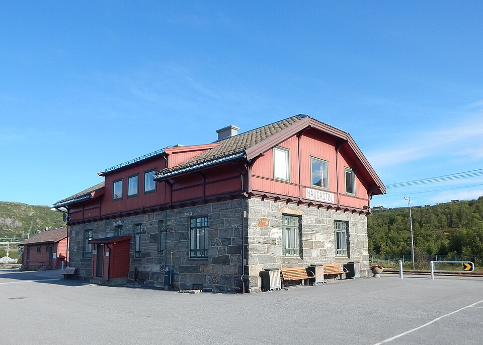
Haugastøl (Haugastøl stasjon) is a station on the Bergen Line in Norway. The station is located in the Hol municipality situated between the stations Ustaoset to the east and Finse to the west. The station is 275.50 kilometres (171.19 mi) from Oslo if one follows the track over Roa.
Source: Wikipedia (CC BY-SA)
On these routes
- Oslo–Bergen — The Bergen Line across Hardangervidda, with the Flåm Railway and Nærøyfjord along the way.
- Bergen–Trondheim — The fjords and Hardangervidda east to Oslo, then north over Dovrefjell to Nidaros.