Ustaoset
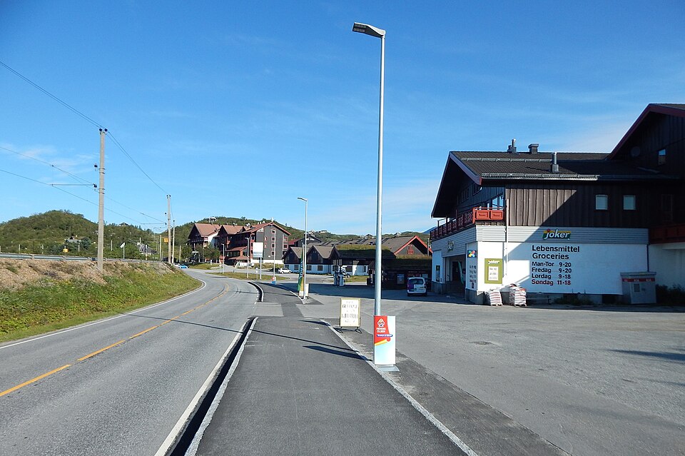
A quiet high-mountain stop by Lake Ustevatn, 990 m above sea level — cabins, open plateau and views of Hallingskarvet.
The facts
| Elevation | 990 m |
| Coordinates | 60.4966, 8.0452 |
| Time to allow | 3 h |
What to see
- Ustevatn Hike
- Hardangervidda Hike
Month by month
| Month | Daylight | Day high | Wet days | Access |
|---|---|---|---|---|
| January | 6.6 h | -5.8 °C | 15 | Open |
| February | 9.2 h | -5.7 °C | 13 | Open |
| March | 11.7 h | -3.1 °C | 13 | Open |
| April | 14.6 h | 1.1 °C | 11 | Open |
| May | 17.3 h | 5.4 °C | 11 | Open |
| June | 19 h | 11 °C | 14 | Open |
| July | 18.2 h | 14.5 °C | 15 | Open |
| August | 15.7 h | 13.3 °C | 14 | Open |
| September | 12.9 h | 8.8 °C | 13 | Open |
| October | 10.2 h | 2.5 °C | 15 | Open |
| November | 7.4 h | -2.7 °C | 14 | Open |
| December | 5.8 h | -5.4 °C | 14 | Open |
Background
Ustaoset is a village in Hol municipality, Buskerud, Norway. It is located on Norwegian National Road 7 (Riksvei 7). Ustaoset is situated 990 m (3,250 ft) above sea level and is the finish for the cross country ski event Skarverennet.
Source: Wikipedia (CC BY-SA)
On these routes
- Oslo–Bergen — The Bergen Line across Hardangervidda, with the Flåm Railway and Nærøyfjord along the way.
- Bergen–Trondheim — The fjords and Hardangervidda east to Oslo, then north over Dovrefjell to Nidaros.