Hjerkinn
Norway's driest place, 1017 m up on Dovrefjell — the starting point for musk ox safaris.
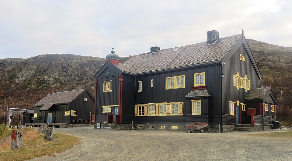
The facts
| Elevation | 1017 m |
| Coordinates | 62.2202, 9.5412 |
| Time to allow | 4 h |
What to see
- Viewpoint Snøhetta Viewpoint
- Norsk villreinsenter Nord Museum
- Moskussafari Activity
Some 250 musk oxen live on Dovrefjell. A guided walk is the only safe way to approach.
Month by month
| Month | Daylight | Day high | Wet days | Access |
|---|---|---|---|---|
| January | 6.1 h | -8 °C | 13 | Open |
| February | 8.9 h | -7.5 °C | 10 | Open |
| March | 11.7 h | -4.1 °C | 11 | Open |
| April | 14.8 h | 1 °C | 10 | Open |
| May | 17.8 h | 5.8 °C | 13 | Open |
| June | 19.8 h | 11 °C | 17 | Open |
| July | 18.8 h | 14.2 °C | 18 | Open |
| August | 16 h | 12.7 °C | 16 | Open |
| September | 13 h | 8 °C | 13 | Open |
| October | 10 h | 1.5 °C | 12 | Open |
| November | 7 h | -4.2 °C | 11 | Open |
| December | 5.1 h | -7.4 °C | 12 | Open |
Background
Hjerkinn is a village in Dovre Municipality in Innlandet county in Norway. The village is located in the Dovrefjell mountains, about 30 kilometres (19 mi) northeast of the village of Dombås and about 25 kilometres (16 mi) northwest of the village of Folldal. It is one of the driest places in the country, with only 222 millimetres (8.7 in) annual precipitation in the 10-year period 1905-14.
Source: Wikipedia (CC BY-SA)
On these routes
- Oslo–Trondheim — The Dovre Line through Gudbrandsdalen and over Dovrefjell, home to Norway's musk oxen.
- Oslo–Tromsø — The length of the country: Dovrefjell, the Arctic Circle, Lofoten, and finally the aurora over Tromsø.
- Oslo–Bodø — From the capital across Dovrefjell and past the Arctic Circle to Saltstraumen.
- Bergen–Trondheim — The fjords and Hardangervidda east to Oslo, then north over Dovrefjell to Nidaros.