Jørpeland
The Ryfylke industrial town where most Pulpit Rock trips begin — the last shop, fuel and bed before the path up.
The facts
| Elevation | 15 m |
| Coordinates | 59.0197, 6.0395 |
| Time to allow | 1 h |
What to see
- Preikestolen Hike
- Jørpelandsholmen Sight
- Jørpeland sentrum Food
Month by month
| Month | Daylight | Day high | Wet days | Access |
|---|---|---|---|---|
| January | 7 h | 2.4 °C | 18 | Open |
| February | 9.3 h | 2.6 °C | 16 | Open |
| March | 11.8 h | 4.8 °C | 17 | Open |
| April | 14.5 h | 9.4 °C | 15 | Open |
| May | 16.9 h | 13.5 °C | 15 | Open |
| June | 18.5 h | 16.3 °C | 16 | Open |
| July | 17.8 h | 18.3 °C | 17 | Open |
| August | 15.5 h | 18 °C | 18 | Open |
| September | 12.9 h | 14.8 °C | 17 | Open |
| October | 10.3 h | 10.1 °C | 18 | Open |
| November | 7.7 h | 6 °C | 17 | Open |
| December | 6.2 h | 3.2 °C | 19 | Open |
Background
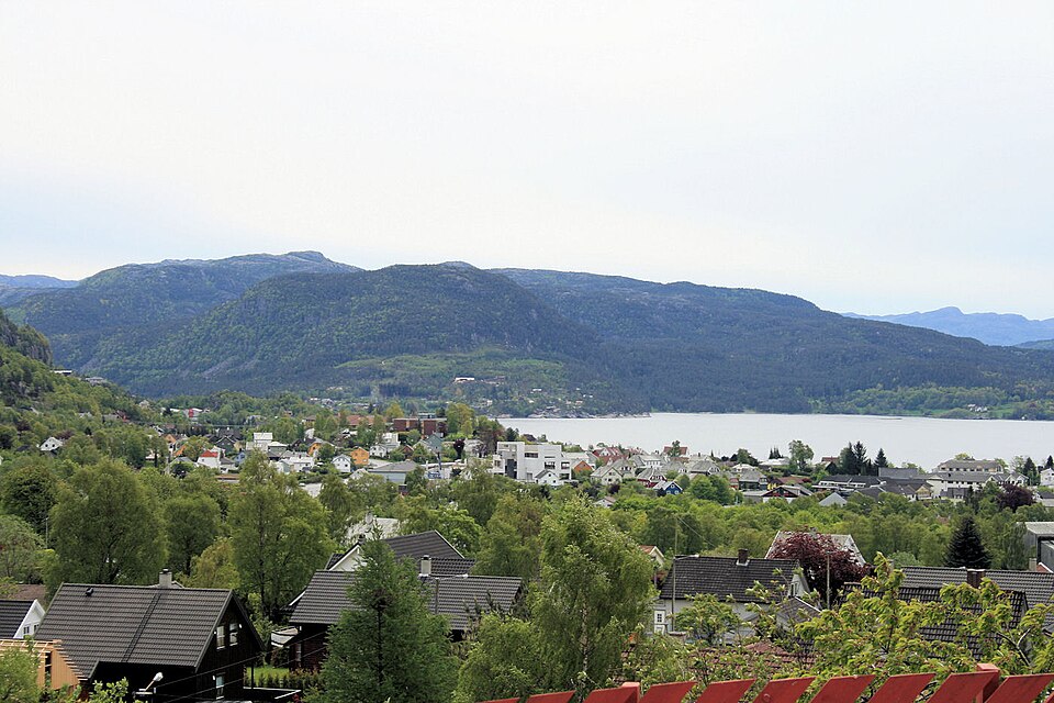
Jørpeland is the administrative centre of Strand Municipality in Rogaland county, Norway. The town is located on the western coast of the mainland, along the shore of the Idsefjorden, about 20 kilometres (12 mi) northeast of the city of Stavanger. It sits along the Norwegian National Road 13 a short distance southeast of the village of Tau where the Ryfast tunnel has its eastern entrance.
Source: Wikipedia (CC BY-SA)
On these routes
- Stavanger–Bergen — The Pulpit Rock, Kjeragbolten and Trolltunga on one route — the three hikes people come to Norway for, and not one of them has a road to it.