Kinsarvik
The ferry hub in the middle of Hardanger, with a 12th-century stone church and Husedalen behind it — four waterfalls in a row up towards Hardangervidda.
The facts
| Elevation | 5 m |
| Coordinates | 60.3759, 6.7192 |
| Time to allow | 3 h |
What to see
- Husedalen Hike
Four waterfalls in a row up towards Hardangervidda — 6 hours to the highest and back. - Kinsarvik kyrkje Sight
- Hardangerfjord ferjekai Activity
Month by month
| Month | Daylight | Day high | Wet days | Access |
|---|---|---|---|---|
| January | 6.6 h | 0.4 °C | 19 | Open |
| February | 9.2 h | 0.5 °C | 16 | Open |
| March | 11.8 h | 2.9 °C | 17 | Open |
| April | 14.6 h | 7 °C | 14 | Open |
| May | 17.3 h | 11.4 °C | 15 | Open |
| June | 19 h | 16.2 °C | 17 | Open |
| July | 18.2 h | 19.3 °C | 18 | Open |
| August | 15.7 h | 18.6 °C | 17 | Open |
| September | 12.9 h | 14.5 °C | 17 | Open |
| October | 10.2 h | 8.5 °C | 18 | Open |
| November | 7.5 h | 3.4 °C | 17 | Open |
| December | 5.8 h | 1.1 °C | 18 | Open |
Background
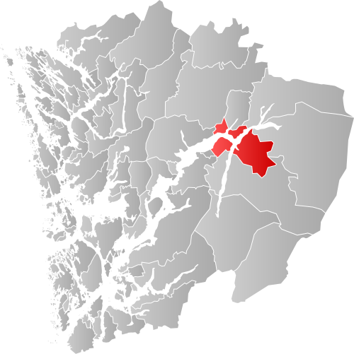
Kinsarvik is a former municipality in the old Hordaland county, Norway. The 392.5-square-kilometre (151.5 sq mi) municipality existed from 1913 until its dissolution in 1964. The area is now part of Ullensvang Municipality in the traditional district of Hardanger in Vestland county.
Source: Wikipedia (CC BY-SA)
On these routes
- Stavanger–Bergen — The Pulpit Rock, Kjeragbolten and Trolltunga on one route — the three hikes people come to Norway for, and not one of them has a road to it.