Steinkjer
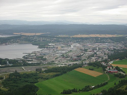
At the head of the Trondheimsfjord, with Bronze Age rock carvings at Bølareinen just outside town.
The facts
| Elevation | 5 m |
| Coordinates | 64.0125, 11.4948 |
| Time to allow | 3 h |
What to see
- Egge museum Museum
- Bølareinen Sight
- Egge gård Sight
An Iron Age burial field and ship setting, right by the museum.
Month by month
| Month | Daylight | Day high | Wet days | Access |
|---|---|---|---|---|
| January | 5.5 h | -1.1 °C | 16 | Open |
| February | 8.7 h | -0.8 °C | 14 | Open |
| March | 11.7 h | 2.2 °C | 15 | Open |
| April | 15.1 h | 7 °C | 13 | Open |
| May | 18.4 h | 11.9 °C | 15 | Open |
| June | 20.9 h | 15.5 °C | 16 | Open |
| July | 19.7 h | 18.3 °C | 15 | Open |
| August | 16.4 h | 17.5 °C | 15 | Open |
| September | 13.1 h | 13.2 °C | 15 | Open |
| October | 9.9 h | 7.1 °C | 16 | Open |
| November | 6.6 h | 2.1 °C | 13 | Open |
| December | 4.3 h | -0.4 °C | 16 | Open |
Background
Steinkjer () or Stïentje (Southern Sami) is a municipality in Trøndelag county, Norway. It is part of the Innherad region. The administrative centre of the municipality is the town of Steinkjer which is located on the inner part of the Trondheimsfjord.
Source: Wikipedia (CC BY-SA)
On these routes
- Trondheim–Bodø — The Nordland Line crosses the Arctic Circle — ten hours north to Saltstraumen.
- Oslo–Tromsø — The length of the country: Dovrefjell, the Arctic Circle, Lofoten, and finally the aurora over Tromsø.
- Oslo–Bodø — From the capital across Dovrefjell and past the Arctic Circle to Saltstraumen.