Støren
Where the Røros Line rejoins the Dovre Line, in the Gauldalen valley with its salmon river and steep sides.
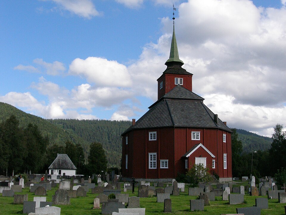
The facts
| Elevation | 65 m |
| Coordinates | 63.0516, 10.2849 |
| Time to allow | 2 h |
What to see
- Laksefiske i Gaula Activity
Month by month
| Month | Daylight | Day high | Wet days | Access |
|---|---|---|---|---|
| January | 5.8 h | -0.6 °C | 14 | Open |
| February | 8.8 h | 0.1 °C | 13 | Open |
| March | 11.7 h | 3.3 °C | 15 | Open |
| April | 14.9 h | 8 °C | 14 | Open |
| May | 18 h | 12.6 °C | 17 | Open |
| June | 20.3 h | 16.2 °C | 17 | Open |
| July | 19.2 h | 18.9 °C | 17 | Open |
| August | 16.2 h | 18.1 °C | 17 | Open |
| September | 13 h | 14.4 °C | 15 | Open |
| October | 9.9 h | 8.2 °C | 15 | Open |
| November | 6.8 h | 2.8 °C | 13 | Open |
| December | 4.8 h | -0.4 °C | 14 | Open |
Background
is the administrative centre of Midtre Gauldal Municipality in Trøndelag county, Norway. The village is located in the Gauldal Valley at the confluence of the Gaula and Sokna Rivers. Støren is located on the European route E6 and is about 50 kilometres (31 mi) south of the city of Trondheim.
Source: Wikipedia (CC BY-SA)
On these routes
- Oslo–Trondheim — The Dovre Line through Gudbrandsdalen and over Dovrefjell, home to Norway's musk oxen.
- Oslo–Tromsø — The length of the country: Dovrefjell, the Arctic Circle, Lofoten, and finally the aurora over Tromsø.
- Oslo–Bodø — From the capital across Dovrefjell and past the Arctic Circle to Saltstraumen.
- Bergen–Trondheim — The fjords and Hardangervidda east to Oslo, then north over Dovrefjell to Nidaros.