Vågå
The village where the road forks: south over Valdresflye to Lake Gjende and Besseggen, west to Lom and Galdhøpiggen. The stave church from 1130 was rebuilt as a cruciform church in the 1620s using timber from the old one — it is older than it looks.
The facts
| Elevation | 370 m |
| Coordinates | 61.8770, 9.0988 |
| Time to allow | 2 h |
What to see
- Vågå stavkyrkje Sight
Rebuilt as a cruciform church in the 1620s from the timber of the 1130 stave church — the Middle Ages are in the walls. - Jutulheimen bygdemuseum Museum
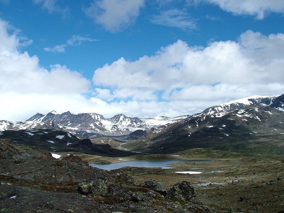
- Valdresflye Viewpoint
A national tourist road over bare high plateau, 1,389 m at its highest. Open in season only. - Jotunheimen Feriesenter Activity
Month by month
| Month | Daylight | Day high | Wet days | Access |
|---|---|---|---|---|
| January | 6.2 h | -5.2 °C | 12 | Open |
| February | 9 h | -4.2 °C | 10 | Open |
| March | 11.7 h | 0 °C | 11 | Open |
| April | 14.8 h | 5.3 °C | 10 | Open |
| May | 17.7 h | 10.3 °C | 12 | Open |
| June | 19.6 h | 15.6 °C | 15 | Open |
| July | 18.7 h | 18.5 °C | 15 | Open |
| August | 16 h | 16.8 °C | 14 | Open |
| September | 13 h | 11.9 °C | 12 | Open |
| October | 10 h | 5.2 °C | 11 | Open |
| November | 7.1 h | -1 °C | 11 | Open |
| December | 5.3 h | -4.6 °C | 12 | Open |
Background
Vågå (Norwegian pronunciation: [ˈvôːɡoː]) is a municipality in Innlandet county, Norway. It is located in the traditional district of Gudbrandsdal. The administrative centre of the municipality is the village of Vågåmo.
Source: Wikipedia (CC BY-SA)
On these routes
- Otta–Flåm — Besseggen, Galdhøpiggen and the Sognefjell road — straight through Norway's high mountains, from the Dovre Line to the Bergen Line.