Otta
The junction for Jotunheimen and Rondane — buses leave here for Norway's highest mountains.
The facts
| Elevation | 290 m |
| Coordinates | 61.7723, 9.5368 |
| Time to allow | 3 h |
What to see
- Jotunheimen Hike
- Rondane nasjonalpark Hike
- Rafting i Sjoa Activity
Month by month
| Month | Daylight | Day high | Wet days | Access |
|---|---|---|---|---|
| January | 6.2 h | -5.4 °C | 12 | Open |
| February | 9 h | -3.9 °C | 8 | Open |
| March | 11.7 h | 0.8 °C | 9 | Open |
| April | 14.8 h | 6.2 °C | 9 | Open |
| May | 17.6 h | 11.3 °C | 12 | Open |
| June | 19.6 h | 16.6 °C | 14 | Open |
| July | 18.7 h | 19.3 °C | 15 | Open |
| August | 16 h | 17.6 °C | 14 | Open |
| September | 13 h | 12.7 °C | 11 | Open |
| October | 10.1 h | 5.9 °C | 11 | Open |
| November | 7.2 h | -0.7 °C | 11 | Open |
| December | 5.3 h | -5 °C | 11 | Open |
Background
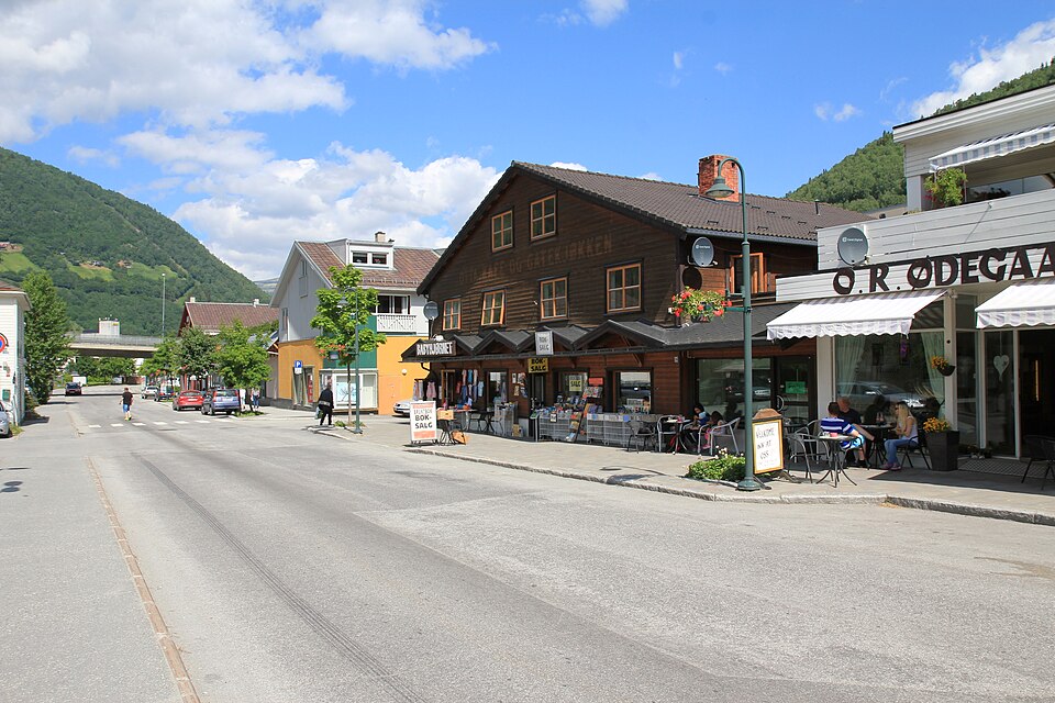
is a town in Sel Municipality in Innlandet county, Norway. The town is also the administrative centre of the municipality. The town is located at the confluence of the Gudbrandsdalslågen and Otta rivers.
Source: Wikipedia (CC BY-SA)
On these routes
- Oslo–Trondheim — The Dovre Line through Gudbrandsdalen and over Dovrefjell, home to Norway's musk oxen.
- Otta–Flåm — Besseggen, Galdhøpiggen and the Sognefjell road — straight through Norway's high mountains, from the Dovre Line to the Bergen Line.
- Oslo–Tromsø — The length of the country: Dovrefjell, the Arctic Circle, Lofoten, and finally the aurora over Tromsø.
- Oslo–Bodø — From the capital across Dovrefjell and past the Arctic Circle to Saltstraumen.
- Bergen–Trondheim — The fjords and Hardangervidda east to Oslo, then north over Dovrefjell to Nidaros.